32262: OLLASHAL, LEWIS – SHIELING? (Undated)
Summary:
SHIELING? (Undated)
Location:
NB 1010 3077
Full description:
NB13SW 13 1010 3077
What may be one unroofed shieling-hut, which is annotated as a Ruin, is depicted on the 1st edition of the OS 6-inch map (Ross-shire, Island of Lewis 1854, sheet 24) and on the current edition of the OS 1:10000 map (1974).
Information from RCAHMS (SAH) 3 September 1997
Acknowledgement:
Information provided by Western Isles Council Sites & Monuments Record, January 2006.
Additional information from Comunn Eachdraidh Uig:
Known as Airigh MhicNeill, and used by tenants of Carishader. (F Maciver 2005)
Record Location
Details
- Record Type:
- Historical or Archaeological Site
- Type Of Site:
- Shieling
- SMRRecord ID:
- MWE132230
- Record Maintained by:
- CEU
Related Media
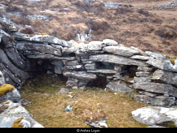
Interior of Shieling, Ollashal