31834: CALBOST, LEWIS – TOWN (Undated)
Summary:
TOWN (Undated)
Centred on NB 414 173
Location:
NB 414 173
Full description:
NB41NW 1.01 centred on 414 173
A township comprising ninteen roofed, one partially roofed, four unroofed buildings, two of which are annotated as Ruins, five enclosures and a head-dyke is depicted on the 1st edition of the OS 6-inch map (Ross-shire, Island of Lewis 1854, sheet 38). One of the roofed and one of the unroofed buildings are annotated as Corn Mills (see: NB41NW 1.02).
Fifteen roofed, four partially roofed, thirty-four unroofed buildings and the fragmentary remains of the head-dyke are shown on the current edition of the OS 1:10000 map (1974).
Information from RCAHMS (SAH) 9 July 1997
Acknowledgement:
Information provided by Western Isles Council Sites & Monuments Record, January 2006.
Record Location
Details
- Record Type:
- Historical or Archaeological Site
- Type Of Site:
- Town/Village
- SMRRecord ID:
- MWE134074
- Record Maintained by:
- CEP
Related Media
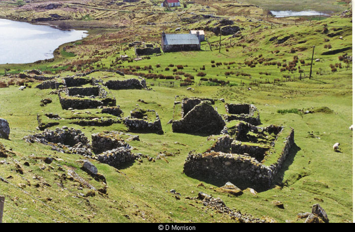
Calbost village ruins
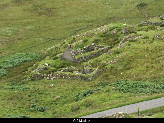
Ruins at Calbost