31808: GRAVIR, LEWIS – TOWN (Undated), MILL (Undated)
Summary:
TOWN (Undated)
MILL (Undated)
Centred on NB 388 153
Location:
NB 388 153
Full description:
NB31NE 11 centred on 388 153
A township, a crofting township and two roofed Corn Mills are depicted on the 1st edition of the OS 6-inch map (Ross-shire, Island of Lewis 1854, sheet 38). The township comprises twenty-eight roofed, one partially roofed and six unroofed buildings. There are two blocks of crofts or plots to the E and the W of the burn named Gil Mhor. That to the E comprises eight roofed buildings and one unroofed building, and that to the W comprises eighteen roofed and two unroofed buildings.
Forty-one roofed, two partially roofed, thirty-six unroofed buildings and the fragmentary remains of the head-dyke are shown on the current edition of the OS 1:10000 map (1974).
Information from RCAHMS (SAH) 9 July 1997
Acknowledgement:
Information provided by Western Isles Council Sites & Monuments Record, January 2006.
Record Location
Details
- Record Type:
- Historical or Archaeological Site
- Type Of Site:
- Mill; Town/Village
- SMRRecord ID:
- MWE134045
- Record Maintained by:
- CEP
Related Media
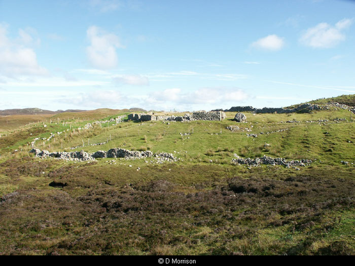
Gravir Ruins
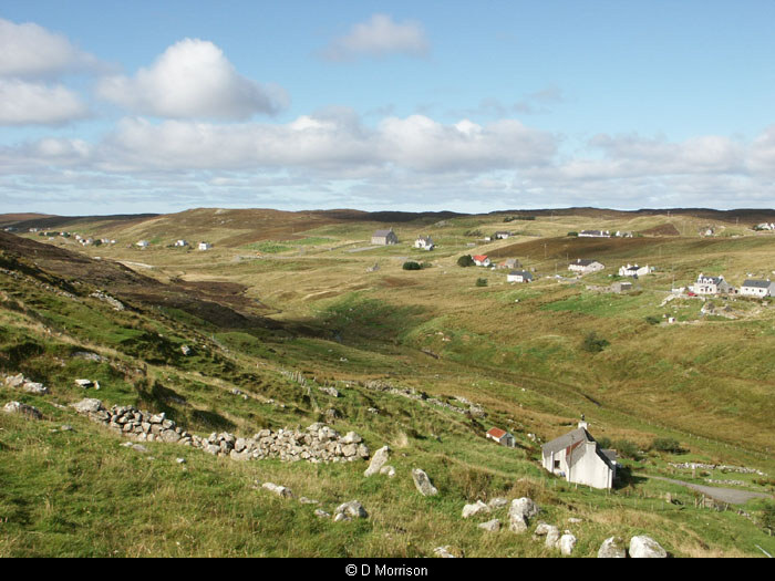
Gravir from the school

Postcard of Gravir
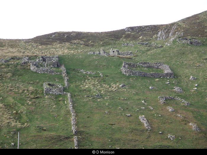
Ruins above Gravir