18460: Stornoway Town, Lewis
The area around Stornoway has produced evidence of occupation during the Neolithic and Bronze Ages and probably supported a Viking settlement, based around the excellent natural harbour. In mediaeval times there was a castle on the site of what is now the Number One Pier, built around 1300 by the Nicolsons and subsequently taken by the dominating Macleods.
Stornoway was made a burgh of barony in 1607, coinciding with the acquisition of the island by the Mackenzies of Kintail (and the first Earl of Seaforth) but the town only gained pre-eminence with the growth of the herring industry. The fishing declined and in the 1960s the town was the centre of the Harris tweed industry, with a thousand workers employed in the mills in town.
When James Matheson bought the Isle of Lewis in 1844 for 190,000, he built Lews Castle and developed the grounds. The Mathesons sold the island in 1918 to Lord Leverhulme, who, after expensive attempts to develop the island economy, gave the burgh and parish of Stonroway to its people. The Stornoway Trust became one of the oldest community owned estates in Scotland.
The most bitter episode in Stornoway history was the Iolaire Disaster of 1919; the harbour also saw the departure of the Metagama for Canada in 1923, with 300 emigrating Lewis men and women aboard.
The population of the civil parish of Stornoway in 2001 was 12,015 (of which approximately half in the town itself.) This represents a 7.5% decrease from 1901 figure of 12,983, which contrasts with the overall Western Isles decrease of 42.5%.
Stornoway is still focussed on its active harbour, which accommodates a fishing fleets, pleasure craft and ferries to the mainland, and the town serves as the administrative and commercial hub for the Western Isles. A highlight of the year is the Hebridean Celtic Festival. More information about the town and its history is provided by the Stornoway Historical Society.
Many of the villages that are today part of the larger conurbation are situated outside the boundaries of the town of Stornoway proper. On this website, these surrounding villages, together with the town, are treated as lying within the wider district of Stornoway. They include Newmarket, Newvalley, Guershader, Benside, Laxdale, Marybank, Maryhill, Steinish, Plasterfield, Sandwick, Parkend, Holm, Melbost and Branahuie. Historically, the extent of the town was even more restricted, and excluded areas such as Coulregrein, Sandwick Park and Battery Park. Historical records referring to people who lived in or moved to and from Stornoway are likely to relate to the town itself rather than the surrounding villages, except of course where Stornoway Parish is specified.
Record Location
Details
- Record Type:
- Location
- Type Of Location:
- Town
- Record Maintained by:
- HC
Related Media
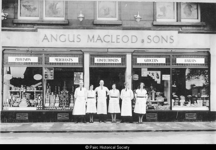
Angus Macleod and Sons
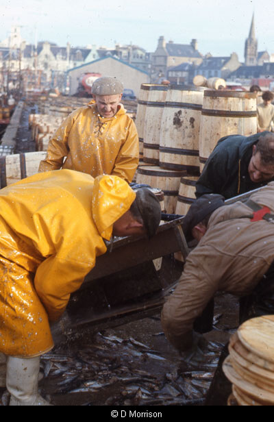
Herring on Stornoway Pier, 1960s
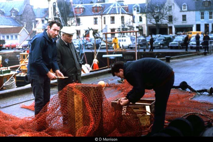
Herring on Stornoway Pier, 1960s
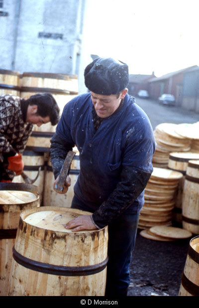
Herring on Stornoway Pier, 1960s
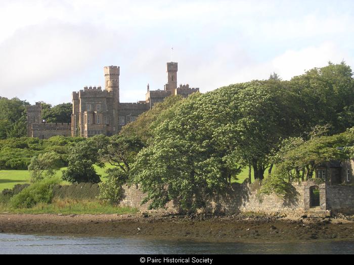
Lews Castle, Stornoway
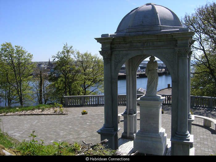
Matheson Memorial
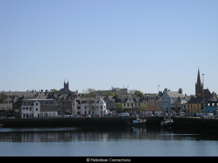
Stornoway
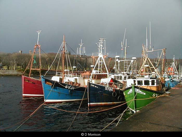
Stornoway Harbour
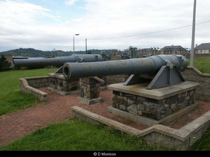
The Battery, Stornoway