32525: LOCH CAMASORD, LEWIS – CORN MILL (Undated)
Summary:
CORN MILL (Undated)
Location:
NB 0361 3498
Full description:
NB03SW 22 0361 3498
An unroofed building annotated as a Ruin and as a Corn Mill is depicted on the 1st edition of the OS 6-inch map (Ross-shire, Island of Lewis 1854, sheet 23) and on the current edition of the OS 1:10000 map (1974).
Information from RCAHMS (SAH) 27 August 1997
Acknowledgement:
Information provided by Western Isles Council Sites & Monuments Record, January 2006.
Record Location
Details
- Record Type:
- Historical or Archaeological Site
- Type Of Site:
- Corn Mill
- SMRRecord ID:
- MWE135010
- Record Maintained by:
- CEU
Related Media
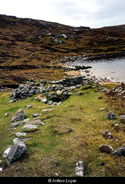
Mill at Loch Camasord
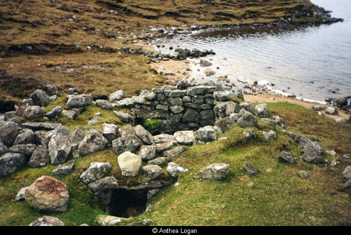
Mill at Loch Camasord
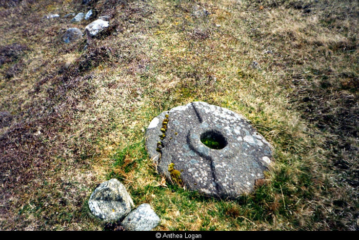
Millstone, Loch Camasord