31350: BEARASAY – BUILDING (Undated)
Summary:
BUILDING (Undated)
Fortified stack, possibly mediaeval and earlier date
Location:
NB 121 425
Full description:
NB14SW 1 121 425.
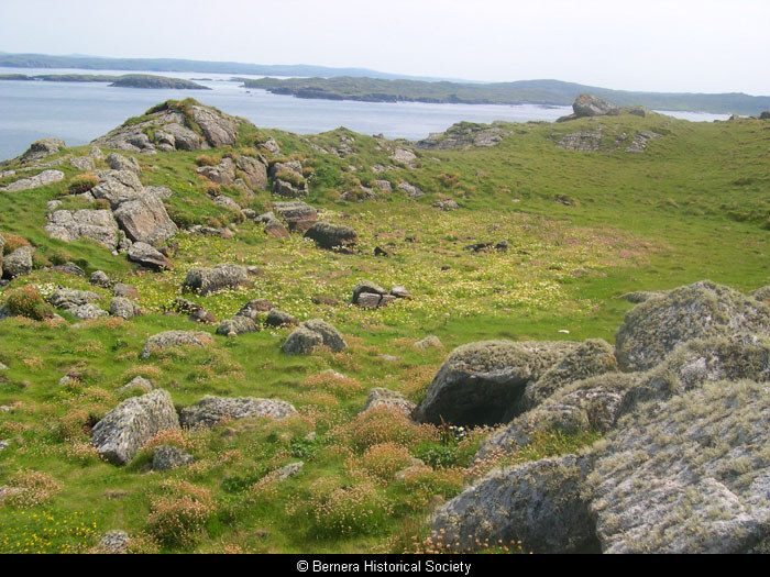
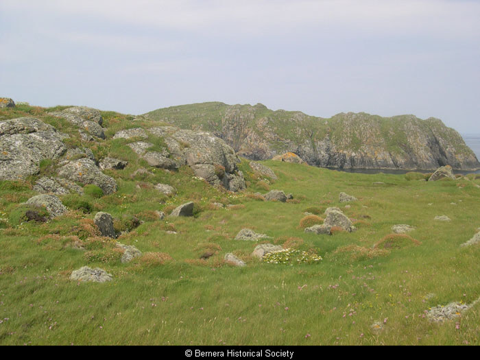
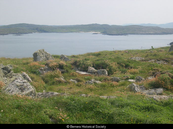
(Area: NB 121 425) The foundations of a few houses close together remain on Bearasay, which was the stronghold of Neil Macleod for three years before his execution in April 1613.
RCAHMS 1928; R Gordon 1813.
Tradition still known locally. Island inaccessible at time of investigation.
Visited by OS (N K B) 22 June 1969.
Five unroofed buildings, one of which is T-shaped, are depicted on the 1st edition of the OS 6-inch map (Island of Lewis, Ross-shire 1853, sheet 11). The T-shaped unroofed building and three unroofed structure which may represent buildings are shown on the current edition of the OS 1:10000 map (1972).
Information from RCAHMS (AKK) 4 July 1997.
The foundations of a number of probably earlier, curvilinear buildings, and an artificial rainwater loch also occupy the top of the island. This site is very similar to Dun Eistean, and may therefore be of similar date. MML 21.9.99
References:
Genealogical History of the Earldom of Sutherland – 1630-1813. 275
RCAHMCS. 1928. The Royal Commission on the Ancient and Historical Monuments and Constructions of Scotland. Ninth report with inventory of monuments and constructions in the Outer Hebrides, Skye and the Small Isles, Publisher: HMSO The RCAHMS 9th Report and Inventory: Outer Hebrides, Skye and the Small Isles. 30, No. 104
Acknowledgement:
Information provided by Western Isles Council Sites & Monuments Record, January 2006.
Record Location
Details
- Record Type:
- Historical or Archaeological Site
- Type Of Site:
- Building
- SMRRecord ID:
- MWE4129
- Record Maintained by:
- CEBL
Related Media
Artificial rainwater loch
Buildings on Bearasay
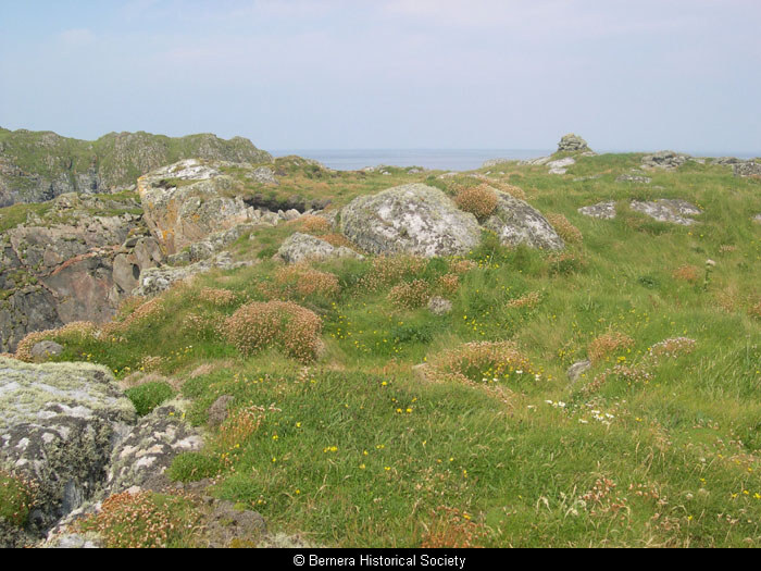
Curvilinear structure on Berisay
Curvilinear structures on Berisay
Rectilinear structure on Berisay
Rectilinear structure on Berisay