31074: CNOC AN RUAGAIN, LEWIS – TOWN (Undated), SHEEP HOUSE (Undated)
Summary:
TOWN (Undated)
SHEEP HOUSE (Undated)
Location:
NB 2150 2833
Full description:
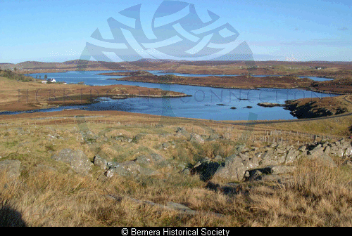
NB22NW 23 2150 2833
A township, comprising six unroofed buildings and three enclosures is depicted on the 1st edition of the OS 6-inch map (Island of Lewis, Ross-shire 1853, sheet 25). Six unroofed buildings, two enclosures and a large sheep pen are shown on the current edition of the OS 1:10000 map (1973).
Information from RCAHMS (AKK) 29 September 1997.
Acknowledgement:
Information provided by Western Isles Council Sites & Monuments Record, January 2006.
Record Location
Details
- Record Type:
- Historical or Archaeological Site
- Type Of Site:
- Town/Village; Sheep House
- SMRRecord ID:
- MWE134896
- Record Maintained by:
- CEBL
Related Media
Cnoc-an-Ruagain