31824: SIDHEAN CHUIRISEAL, LEWIS – FARMSTEAD (Undated)
Summary:
FARMSTEAD (Undated)
Location:
NB 410 112
Full description:
NB41SW 4 410 112
A farmstead comprising six unroofed buildings, which are all annotated as Ruins and one has an attached enclosure, and a head-dyke are depicted on the 1st edition of the OS 6-inch map (Ross-shire, Island of Lewis 1854, sheet 43). One unroofed building with an attached incomplete enclosure and a head-dyke are shown on the current edition of the OS 1:10000 map (1973).
Information from RCAHMS (SAH) 3 July 1997
Acknowledgement:
Information provided by Western Isles Council Sites & Monuments Record, January 2006.
Record Location
Details
- Record Type:
- Historical or Archaeological Site
- Type Of Site:
- Farmstead
- SMRRecord ID:
- MWE134064
- Record Maintained by:
- CEP
Related Media
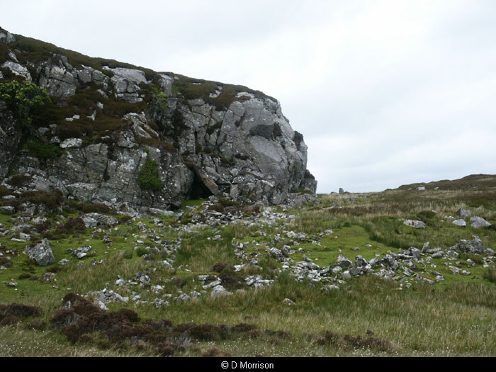
Buildings at Sidhean Chuiriseal
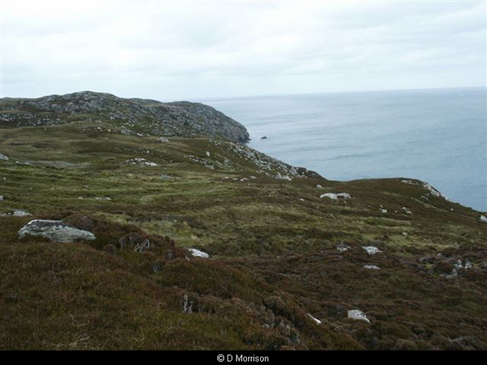
Sidhean Chuiriseal