39531: Geology of Bernera
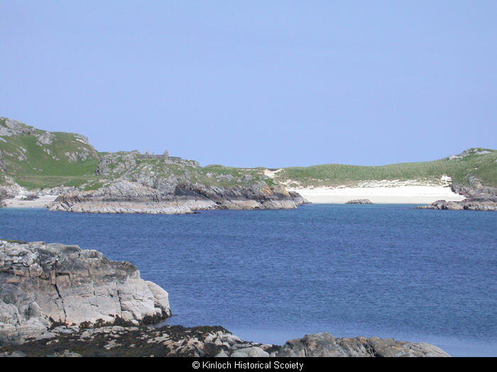
All the Scottish island groups were once part of the mainland and became separated through huge geological forces. St Kilda and Rockall are the islands furthest to the west that were subject to the same process. The terrain of Bernera with its U-shaped valleys and scoured boulders was dictated by the movement of glaciers during ice ages, and by sea erosion. Over hundreds of years, the sea level has risen and this has affected settlement and land use and dramatically altered the shape of the island. This is a continuing process – Little Bernera for instance, is becoming two separate islands as the narrowest part is constantly eroding and will eventually allow inundation by the sea. The small island of Cealasaidh was once part of Little Bernera.
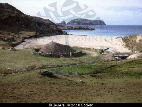
At Bosta, the sea was much further out than at present, and the beach would have been a more usual semi-circular shape, between the two headlands. The whole area of sand running up to the present day back of the beach is the result of erosion and the raising of the sea level. The stream alters its course frequently and is causing the shoreline to tumble. High winds and seas transfer hundreds of tons of sand from one place to another. This is how the Iron Age Village was first exposed in 1993.
There is a fault running north/south through the length of the island and exposed in places. This is an intrusion of quartz, pink in colour and beautiful when low evening or morning sun strikes it. The rock is mostly gneiss or granite with schist. The violent upheavals of molten rock can be seen in contorted strata in the small quarries throughout the island.
Bernera Historical Society
Details
- Record Type:
- Story, Report or Tradition
- Type Of Story Report Tradition:
- Other
- Record Maintained by:
- CEBL
Related Media
Bosta
Little Bernera