533: Keose, Lewis
Keose: From the Norse, Kios, a township; a round hollow edging the sea
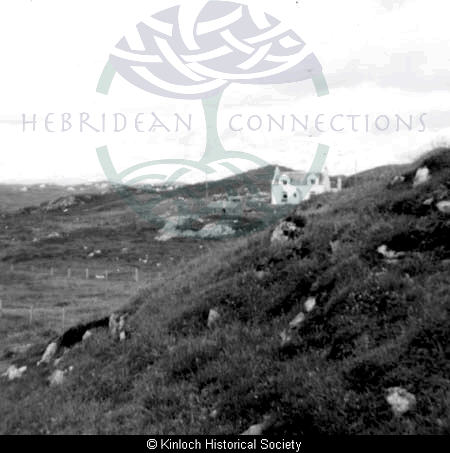
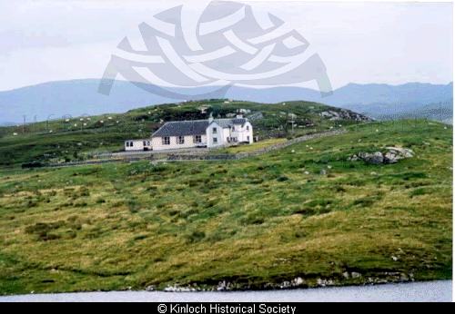
It is a crofting township which lies on the north shore of Loch Erisort, opposite Garyvard.
The whole peninsula to the east of Keose, although now empty, seems to have been subject to human activity for many hundreds of years. Local tradition holds that the area was populated by many “cleits” of which one was called “Streangall”.
The ruins of buildings can still be seen, peppered at various points. It was once a farm in its own right, until the middle of the 18th Century when the land fell under the control of the minister in the neighbouring village. This seems to have been a concession from the Seaforths in order to placate the ministers who wanted a Glebe for themselves, something the landowners were reluctant to give. As soon as a new incumbent was settled in the Parish, he would often lose any of the gains of his predecessors. In this fashion, Swordale was lost to the ministers after the death of Rev Alexander Simpson in 1830 and was not regained until the efforts of Ewen Campbell in the Court of Session in Edinburgh in 1875.
During the 19th Century, this area seems to have been populated by shepherds and farmworkers, more often than not in the employment of the minister. Many were transitory, maybe arriving for a harvest, or people who were part of the minister’s entourage from a previous congregation.
In 1844, when Sir James Matheson bought the Island of Lewis, he chose Keose to be the location of his castle and gardens but church authorities refused to sell him the land, so he built in Stornoway.
Keose families lived on the following crofts:
Macmillan: Am Fasgadh
Carrington: Am Fasgadh
Macdonald: 1, 11, 11a, 12, 13, 15
Macleod: 1b, 5, 7b, 8, 14
Mackenzie: 2, 3, 4, 7a, 7b, 8, 9, 12, 12b, 15
Maclean: 3
Macleod: 4, 13
Macrae: 4, 12b
Macaulay: 4, 10, 14
Smith: 6, 12b
Morrison: 7, 11a
Gold: 8
Kennedy: 11a
Montgomery: 11b
Mackay: 12
Ferguson: 12a
Maciver: 14
Record Location
Details
- Record Type:
- Location
- Also Known As:
- Keos
- Type Of Location:
- Village/Township
- Record Maintained by:
- CECL
Related Media
14 Keose
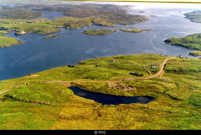
Garyvard from the air
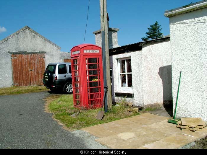
Keose Post Office
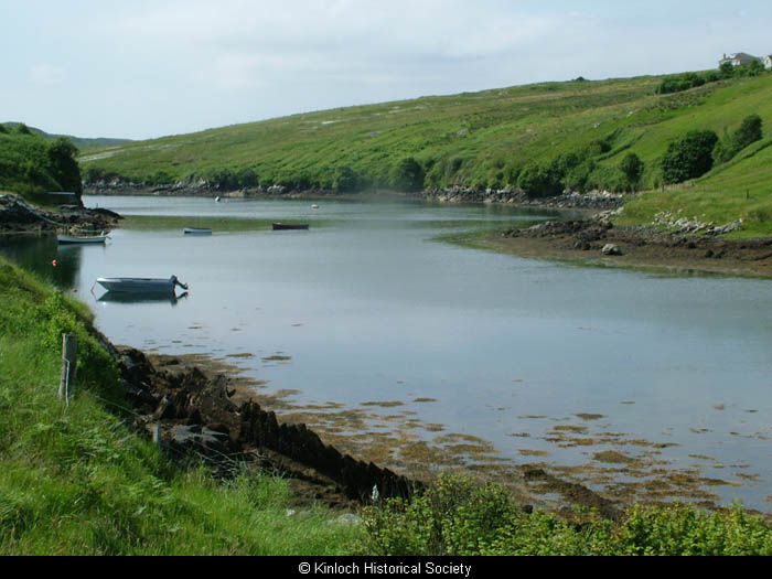
Keose estuary
Knockiandue School, Keose, 1970s
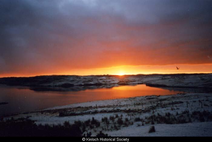
Sunset in Kinloch
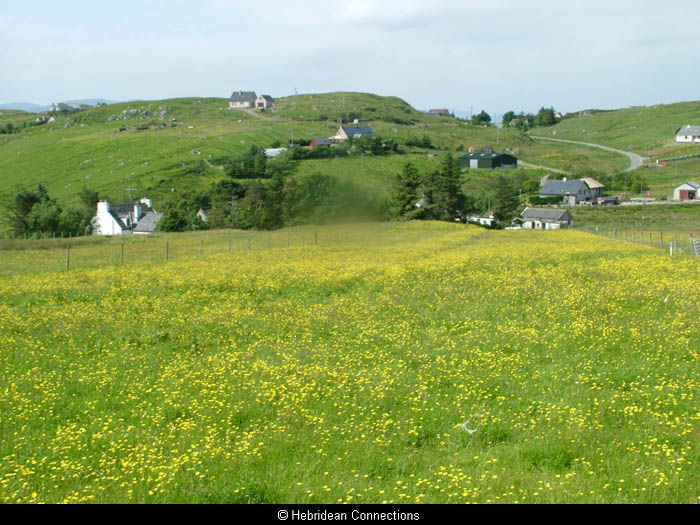
View of Keose
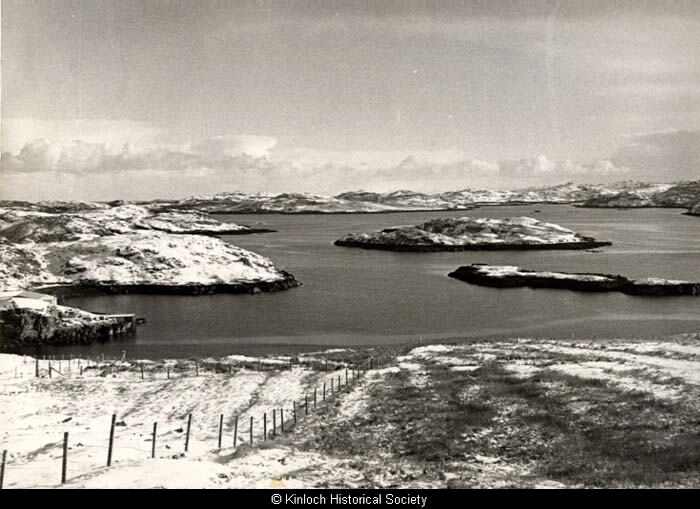
Winter scene in Keose