33083: LOCH NA CUILC, KNEEP, LEWIS – BLACK HOUSE (Undated), ENCLOSURE (Undated)
Summary:
BLACK HOUSE (Undated)
ENCLOSURE (Undated)
Blackhouse and enclosure on 1st ed. OS map 1854
Location:
NB 0980 3588
Full description:
NB03NE 51.02 0980 3588
Formerly NB03NE 39
One small unroofed building and attached enclosure is depicted on the 1st edition of the OS 6-inch map (Island of Lewis, Ross-shire 1854, sheet 17). A large unroofed building and attached enclosure are shown on the current edition of the OS 1:10000 map (1974).
Information from RCAHMS (AKK) 18 September 1997.
no. 51
This is a two-phase site comprising two adjoining blackhouses associated with one enclosure and a ‘garden enclosure’. The walls are of drystone construction with a turf/earth core and survive up to 2m high. The structural walls are c. 1.5m wide. All of the structrures have externally rounded corners.
The primary blackhouse was the eastern and smaller of the two, measuring 12m north-south by 3m. This structure is now entered only from the interior of the later larger structure. It appears that the original external wall of the primary structure now forms the internal wall of the northern end of the later structure.
The larger blackhouse was 22m north-souty by 6m east-west, with two opposing entrances 7m from the north end. A stone platform projects from the southern half of the west side of the structure. It was built on the primary structure and has a number of specialise darchitectural trats associated with late blakchouses.
The southern end of the later structure was more carefully built than the northern end. It has carefully squared corners and a wall-built, funnel-shaped window in the western wall (because of variations in the external ground surface this window was at exernal ground leve.l). By contrast the northern end had rounded corners and was less carefully finished, being partly formed of the wall of the ealier blackhouse. It is possible that much of the southen end represents reconstruction contemporary with the installation of a secondary partition and fireplace. This secondary partition has been ineserted into the larger blackhouse towards the southern end. It contains a well-built fireplace facing into the southern chamber. It appears to replace an earlier residual partition located immediately south of the entrance. The enlarged secondary northern chamber was filled by nettles while the southern chamber (4 x 3m internally) was grass-covered.
It appears that the later structure had its living quarters at the southern end, to which all of the elaboration and careful construction was directed. The northern end would have formed a byre with the central portion and the older blackhouse presumably used for additional accommodation and/or storage.
The primary blackhouse and enclosure are indicated on the 1st edition Ordnance Survey map surveyed in 1850 but they are marked as open blocks and thus appear to be unoccupied and presumably unroofed (although they are not laberlled as ‘ruins’). On the 1895 edition the site is indicated as it survives now, with adjoining blakchouses, and is clearly occupied. This provides useful dates for the incorporation of the developed blackhouse construction traits, since the later blackhouse is clearly constructed between the 1850s and 1895.
Armit 1992, 65
References:
Ian Armit. 1992. CFA, University of Edinburgh Archaeological Field Survey of the Bhaltos (Valtos) Peninsula, Lewis.
1994. ‘Archaeological field survey of the Bhaltos (Valtos) peninsula, Lewis’, Proc Soc Antiq Scot. Part No 124. No.51, 87, 88-9
Acknowledgement:
Information provided by Western Isles Council Sites & Monuments Record, January 2006.
Record Location
Details
- Record Type:
- Historical or Archaeological Site
- Type Of Site:
- Black House; Enclosure
- SMRRecord ID:
- MWE72744
- Record Maintained by:
- CEU
Related Media
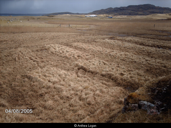
At Loch na Cuilc
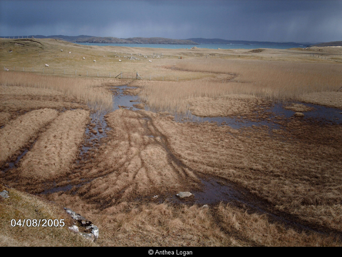
At Loch na Cuilc
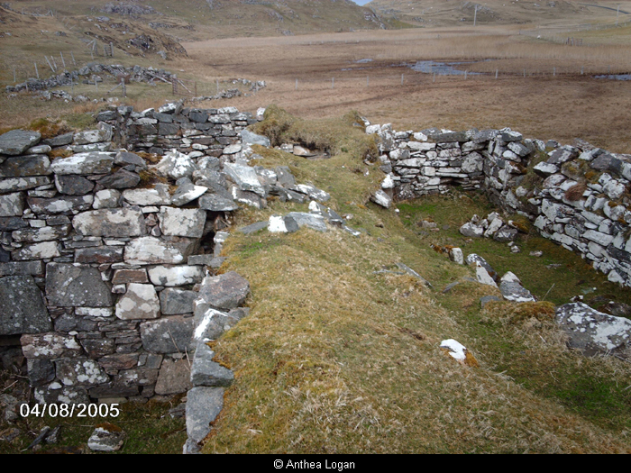
Blackhouse at Loch na Cuilc
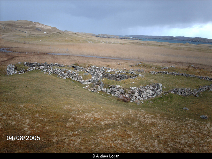
Blackhouse at Loch na Cuilc