32518: SGAL BEAG, LEWIS – FARMSTEAD (Undated)
Summary:
FARMSTEAD (Undated)
Location:
NB 0490 3274
Full description:
NB03SW 28 0490 3274
see also:
NB03SW 34 NB 042 320 to 045 315 Head-dyke
A farmstead comprising three unroofed buildings, two of which are annotated as Ruins, and two enclosures, and a head-dyke are depicted on the 1st edition of the OS 6-inch map (Ross-shire, Island of Lewis 1854, sheet 23). One roofed, one unroofed building and three enclosures are shown on the current edition of the OS 1:10000 map (1974).
Information from RCAHMS (SAH) 28 August 1997
Acknowledgement:
Information provided by Western Isles Council Sites & Monuments Record, January 2006.
Additional information from Comann Eachdraidh Uig:
Site of Baile Nicol; cleared 1830s. There is a circular enclosure, a blackhouse cluster and one rectangular building which seems to have been of later construction and use, with square corners.
Record Location
Details
- Record Type:
- Historical or Archaeological Site
- Type Of Site:
- Farmstead
- SMRRecord ID:
- MWE135002
- Record Maintained by:
- CEU
Related Media
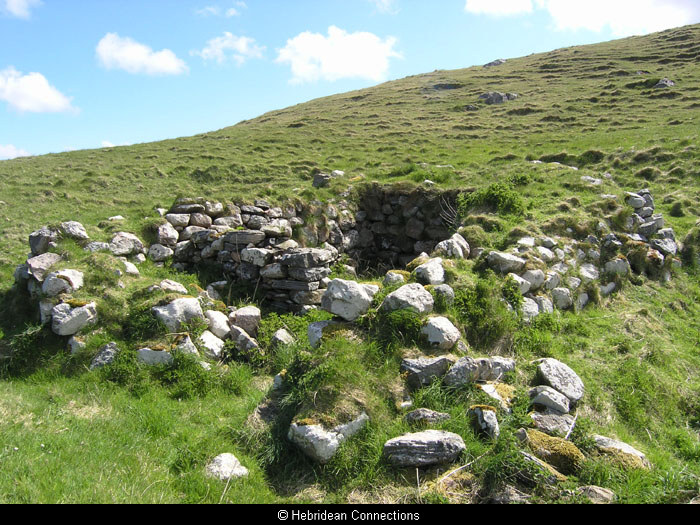
Blackhouse at Sgal Beag, Baile a’ Ghobhainn
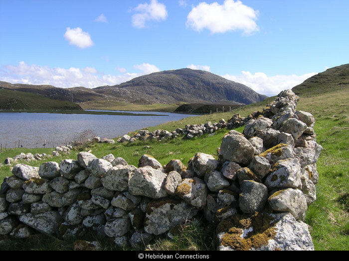
Enclosure at Sgal Beag, Baile a’ Ghobhainn