32284: BRIOMANISH, PABAY MHOR – TOWNSHIP (Undated)
Summary:
TOWNSHIP (Undated)
Cleared township shown on 1st ed. OS map 1854
Location:
NB 1040 3735
Full description:
NB03NE 33 1040 3735
A township, comprising seven roofed buildings and one partially roofed building, all of which are annotated as ruins and nine enclosures is depicted on the 1st edition of the OS 6-inch map (Island of Lewis, Ross-shire 1854, sheet 17). Three unroofed buildings and three enclosures are shown on the current edition of the OS 1:10000 map (1974).
Information from RCAHMS (AKK) 19 September 1997.
Acknowledgement:
Information provided by Western Isles Council Sites & Monuments Record, January 2006.
Record Location
Details
- Record Type:
- Historical or Archaeological Site
- Type Of Site:
- Township
- SMRRecord ID:
- MWE132255
- Record Maintained by:
- CEU
Related Media
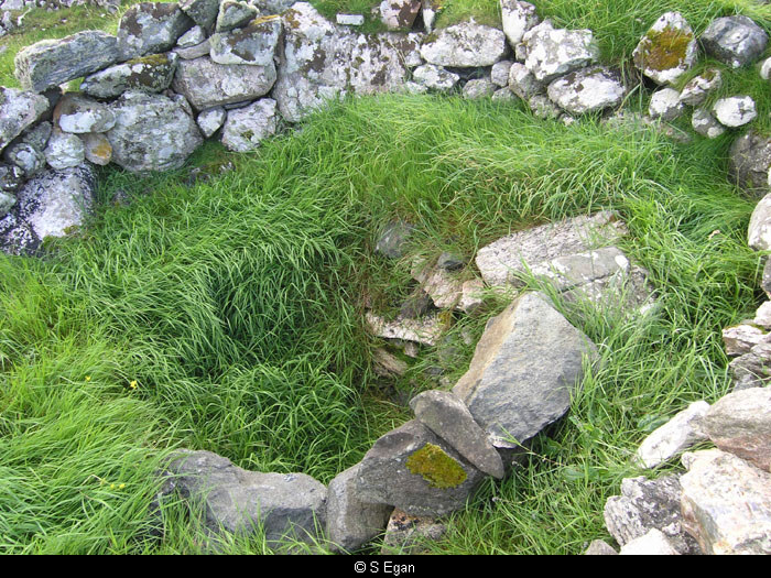
Kiln on Pabbay
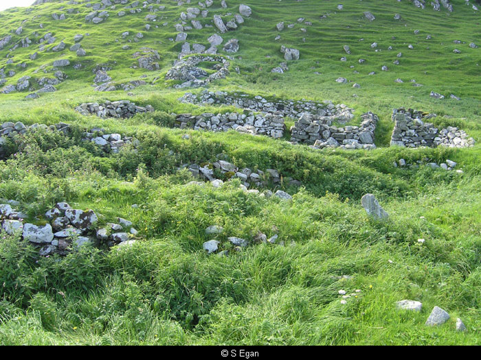
Ruined houses on Pabbay
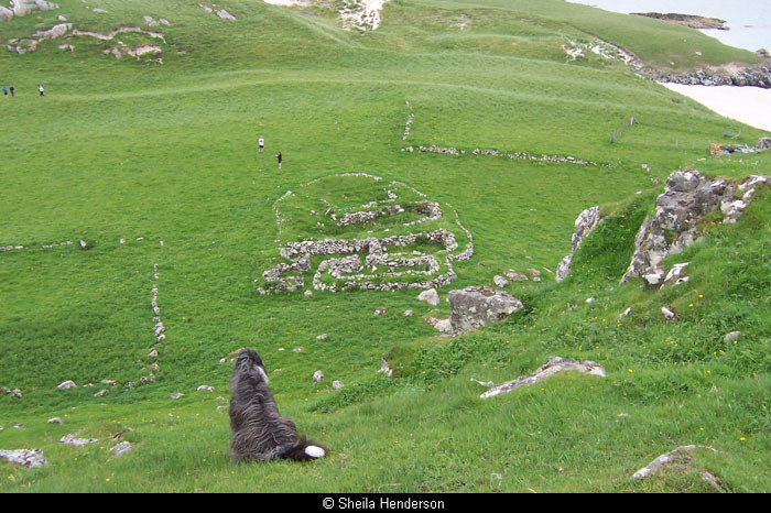
Ruins on Pabbay