32242: TIMSGARRY, LEWIS – TOWN (Undated), CHURCH (Undated)
Summary:
TOWN (Undated)
CHURCH (Undated)
Centred on NB 055 331
Location:
NB 055 341
Full description:
NB03SE 20 centred on 055 331
A township comprising seven roofed buildings, one of which is annotated as a Church, one partially roofed building, which is annotated as a ruin, four unroofed buildings, three of which are annotated as Ruins, and a head-dyke is depicted on the 1st edition of the OS 6-inch map (Ross-shire, Island of Lewis 1854, sheet 23). Timsgarry shares its head-dyke to the S with the township of Erista and to the N with the township of Baile na Cille.
Twenty roofed, one partially roofed and five unroofed buildings are shown on the current edition of the OS 1:10000 map (1974).
Information from RCAHMS (SAH) 27 August 1997
Acknowledgement:
Information provided by Western Isles Council Sites & Monuments Record, January 2006.
Record Location
Details
- Record Type:
- Historical or Archaeological Site
- Type Of Site:
- Town/Village; Church
- SMRRecord ID:
- MWE132209
- Record Maintained by:
- CEU
Related Media
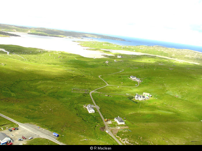
Timsgarry from the air